
Hydrographic
Credit: Interocean
table of contents
-
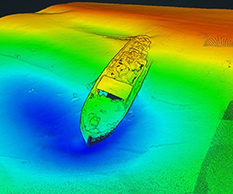 Picture credit: Marine Research Ltd.
WWII Shipwrecks mapped with Sonar Precision
Shipwreck surveys in the Danube River
-
 Source: Fisheries and Oceans Canada
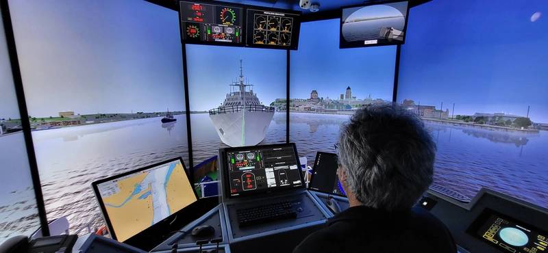
Navigation Transformation
The new S-100 framework, a global standard created by the International Hydrographic Organization, is nearing implementation
-
 Picture credit: Marine Research Ltd.
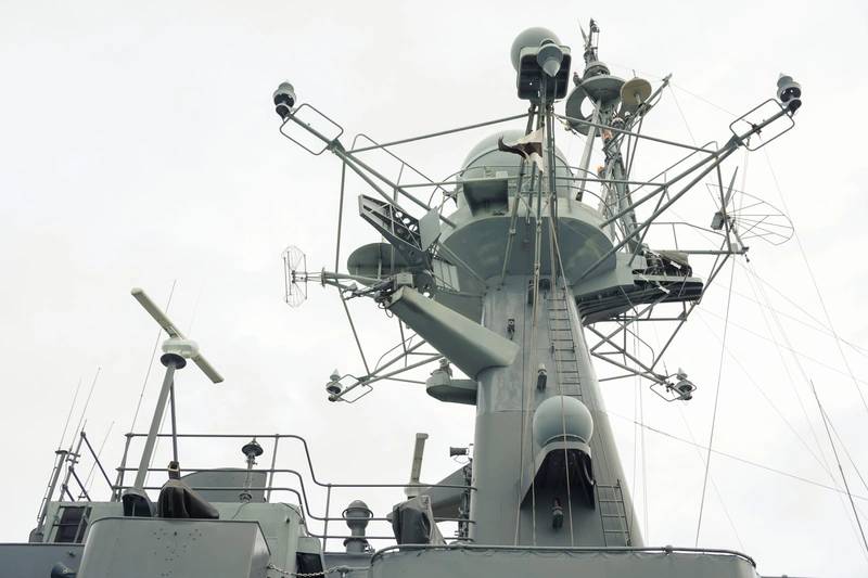
It’s going to get harder to hide
New advances in subsea communications will make submarines harder to keep secret
-
 Credit: Adobe Stock/tantawat
Chirps, Clicks, and Neural Nets: Securing Underwater Operations With LPI/LPD ACOMMS
The complex acoustic landscape of maritime defense communications
-
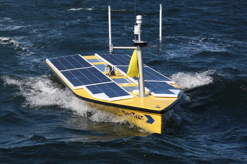 Credit: SeaTrac
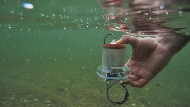
Understanding the deep currents of the Gulf of America
Improving forecast ability of the Gulf’s oceanographic conditions
-
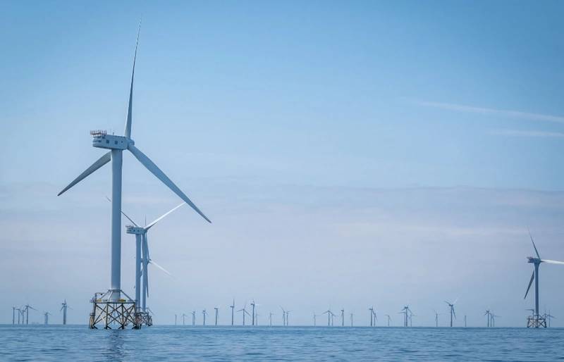 Credit: Adobe Stock/tantawat
Underwater Conversations: The Next Wave in Hydrographic Communications for Renewable Energy
Communication solutions for offshore surveys
-
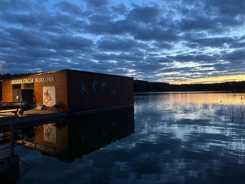 Credit: ONCE by Signify
Lighting the Depths: How a Diving Rehabilitation Base Enhances its Experience and Safety with Lighting Solutions
Lighting solutions make diving rehabilitation more accessible
-
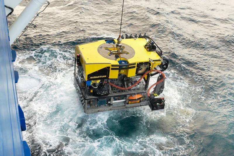 Image courtesy Misha Vallejo Prut / Schmidt Ocean Institute
First High-Tech Exploration of Argentina’s Mar del Plata Canyon Inspires Millions
ROV SuBastian captures new species

