Feature
Oceanography
Working In, Around & Under the Arctic
Inside The Barrow Strait Real Time Observatory with Clark Richards, Fisheries and Oceans Canada, Bedford Institute of Oceanography: Under-ice Monitoring in the Canadian High Arctic
By Greg Trauthwein
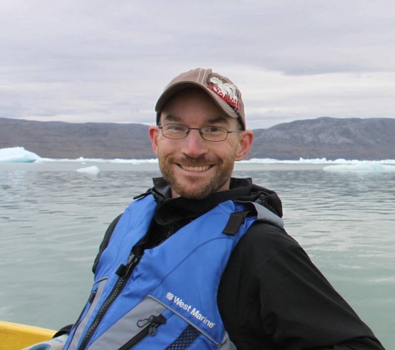
The Arctic is generally described as one of the most hostile and formidable places to work on the planet. With much experience in the region, Clark Richards, Research Scientist, Fisheries and Oceans Canada, the Bedford Institute of Oceanography, neatly sums it up: “I would sit down every day with one of the captains I was working with on the Henry Larsen, a (Canadian) Coast Guard icebreaker. We would go through our plan for the day and come up with a schedule. As soon as we were finished, he would say, ‘All right, we've got a plan. Now we've got something we can change!’ That's what working in the Arctic is; you make a plan and it’s guaranteed you're going to change it. Maybe that's the biggest lesson I learned is that (in the Arctic) everything is fluid. You've got to be ready to change your plan, to troubleshoot solutions, and to find new ways of doing things.”
“Basically, I study the physics of the ocean, which involves looking at the physical properties of sea water, temperature, salinity density, and how that gives rise to the dynamics of the ocean,” said Richards. “So currents and mixing and water mass properties and mixtures. I have a couple of programs that fall under my purview.”
One of those projects is The Barrow Strait Real Time Observatory under-ice monitoring in the Canadian High Arctic, a project that has relied on a broad and deep internal team as well as a host of key technology partners to make a plan, tweak that plan, and effectively, efficiently and safely collect and retrieve valuable data from the harsh, yet delicate environment.
This Arctic is a bellwether for the health of the oceans and planet at large, and gathering, processing and analyzing good data is a key. “In the Canadian Arctic, we’re looking at temperature, salinity, ice, and ice properties in the Canadian Northwest Passage, up in the High Arctic and Canadian Arctic Archipelago, as well as looking at currents. Ultimately, our interests up there are looking at what we call freshwater transport; how much fresh water is being exported from the large Arctic Ocean through the Canadian Arctic, to then get dumped into the North Atlantic.”
So we want a system that's going to send data back live every two hours. We need to know that it's low enough power and low enough infrastructure because we're not connecting this to a big fiber optic cable that's hanging off the end of a pier. There is no pier; there is no internet, there not even buildings. So it needs to be low power, it needs to be low infrastructure, it needs to be portable, easy to deploy and easy to maintain.”
Photo Courtesy Fisheries and Oceans Canada, Bedford Institute of OceanographyMore information on Teledyne ADCPs here
Go North Young Man
Fisheries and Oceans Canada has been monitoring in Barrow Strait, which is part of Lancaster Sound, regular monitoring since the late 1990s, placing moorings across the Barrow Strait (which is about 50km wide), moorings with sensors to measure temperature, salinity, as well as oxygen; and in some cases ADCPs too to measure the ocean currents as well as ice.
“Basically, these instruments would record under the ice for one to two years and save the data internally,” said Richards. “We would go up in the summers, recover the instruments and download the data.
Traveling to the Arctic, retrieving moorings and collecting data is easier said than done. “It's a pretty dangerous place to be putting instruments, and sometimes we lose them,” said Richards. “We're usually pretty conservative about how close to the surface we put our moorings, but sometimes a big ice ridge could come through, grab your float, destroy the mooring, and you lose some of your data. So around 2011, one of my colleagues conceived of an idea of having a similar set of moorings, but connectingthem to a shore station so that that data could be transmitted back in real time. That was the beginning of the Barrow Strait Real Time Observatory.”
Using historical data from the original moorings with the real time data from the new moorings, Richards team could better predict the ‘freeze up’ date, information that has implications for many different stakeholders and local residents. “Scientifically, it's interesting to me, but there are communities in the area, and the ice is used as a mode of transportation at times for some northerners. The Coast Guard runs operations up there through the summer and into early fall, so it's important for them to know the conditions, whether they can get their icebreakers through. And increasingly, clients like the Navy are expanding their fleet with ice-capable vessels to maintain patrols in the Arctic.”
Teledyne Tech Fit for the Arctic
“We use standard acoustic releases, Benthos acoustic releases for the most part, which is a proven technology,” said Richards. The success rate for mooring recoveries in this Arctic program is incredibly high, despite the fact that they're in very harsh conditions and left for a long time. We also use moored CTDs and ADCPs. Typically, we have the Teledyne RDI workhorse ADCPs, which allow us to do water currents as well as we actually track the ice.”
Proven tech that has a history of delivering results is key. “The Arctic's hard to work in, it’s remote, so we need to know that things are going to work for a long time,” said Richards.“So we want a system that's going to send data back live every two hours. We need to know that it's low enough power and low enough infrastructure because we're not connecting this to a big fiber optic cable that's hanging off the end of a pier. There is no pier; there is no internet, there not even buildings. So it needs to be low power, it needs to be low infrastructure, it needs to be portable, easy to deploy and easy to maintain.”
Another key advance was connecting the moorings acoustically using Benthos acoustic modems, as cables have their limitations, particularly working in up to 150 meters of water and not knowing which ship will be used to maintain the system or how much time the team would have on the scene.“The Benthos acoustic modems are like an underwater telephone, so that these instruments, our moorings, collect their data on their own schedule and every couple hours they can telephone the hub, which is the one piece of equipment that's connected to the end of the cable, and send that data back. So it goes up the cable and then comes back through an Iridium satellite link.”
“We have an ADCP node, we have what we call an ice profiling sonar (IPS) node, and those are two completely separate moorings that are not physically connected to anything. They use these acoustic modems to transmit their data without any direct connection. It's a pretty low power, modular way of doing it as well.”
This mean of working is not simply a way to make current operations efficient, but to envision how the system could be further broadened in the future. “I have half a dozen other ideas for instruments that I would like to put out. And in theory, all we need to do is put together a node package that has those instruments, slap an acoustic modem on it, and we're ready to go. We don't have to put any new bulkheads on our cable. We don't have to worry about handling any new data streams there. We can just add this system with another modem and have it go to town.”
“The key features of the modems are the low power and the ease of use and being able to enable innovative deployments,” said Carl Mancuso, Director of Product Line Management, Teledyne Benthos. “(The Barrow Strait Real Time Observatory under-ice monitoring in the Canadian High Arctic) it's a great application for our modem technology, and it's always nice to be able to hear the real world applications and the successes that happen because of our technology. Low power, reliability, long life under the water.”
DASCO Equipment Inc. is the Canadian representative and channel partner for Teledyne Marine, and the Fisheries and Oceans Canada is a core client. DASCO is one of the original global Teledyne Marine channel partners and has been one for approximately 30 years.
More information on Teledyne Acoustic Modems here